
~Home to Todmorden~
10th April 2010
A fine day in prospect and the map suggested various ways of getting from home to Todmorden in West Yorkshire, I decided to choose a long route involving a fell top and some fine views....
Thieveley Pike
Scroll down for photos and a description of the walk
Stanley Mill
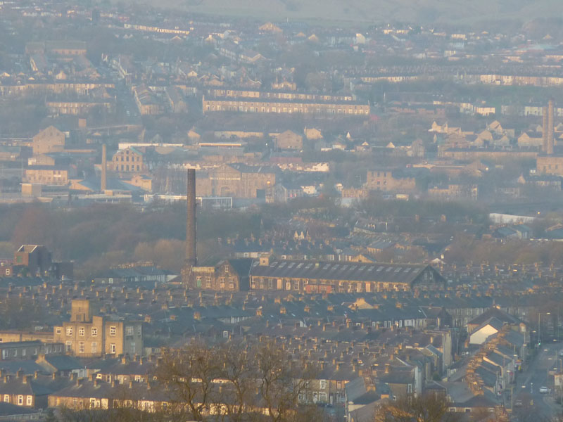
It's 06:50 and this view of Burnley's terraced streets is taken from our house on a full zoom. My walk will take me down Briercliffe Road, seen in the bottom right of this photo and in front of Stanley Mill.
Choices
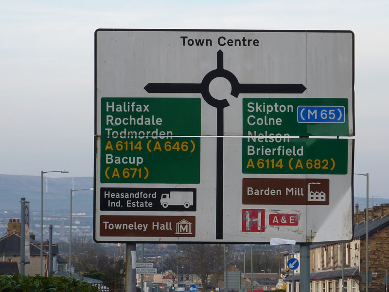
My walk heads directly for the town centre at this point. This sign has been abused and it is in need of repair. It is also in need of correction as the powers that be have transferred our A&E to Blackburn. And as of last week, they have announced that the Children's Ward is also going the same way. Not happy.
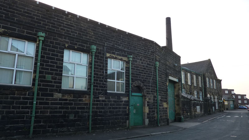
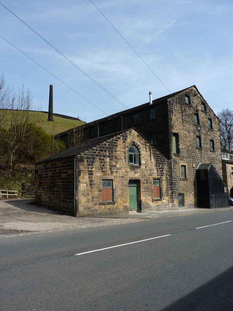
Stanley Mill built in 1891
Built for Robert Emmott Ltd ~ weavers. Vacated around 1955, occupied by G.Ratcliffe & Sons (Felts) Ltd. c.1960. G.Ratcliffe's closed in 2002. The writer and his brother, Peter, formed a new company and now occupy less than a quarter of the site and rent space off the current owners who have split the mill into units.
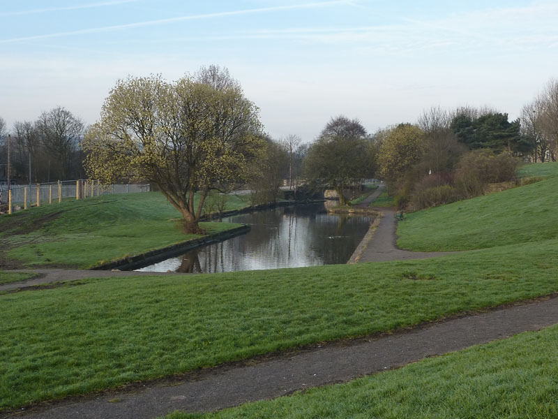
The Wharfe at Bank Hall
Bank Hall Colliery occupied a large site in this area. Closed in 1971. This is a spur off the Leeds & Liverpool Canal and must have been used for coal and associated traffic. Later, rails would have taken over and the next photo shows the route of the railway from the pit to Burnley Central railway station and goods yard. The linked file shows a photo of the Pit Top and Stanley Mill is shown behind, smoke coming out of the chimney - clearly from the days of the coal-fired Lancashire Boilers and steam-powered machinery.
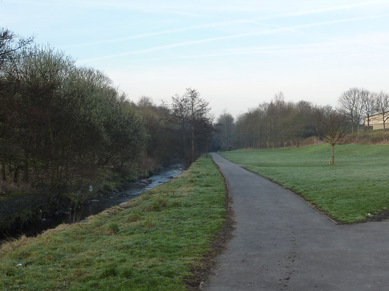
The Rail Route to Burnley Central
Keen observors will note that the rails and the engines and the wagons have all gone.
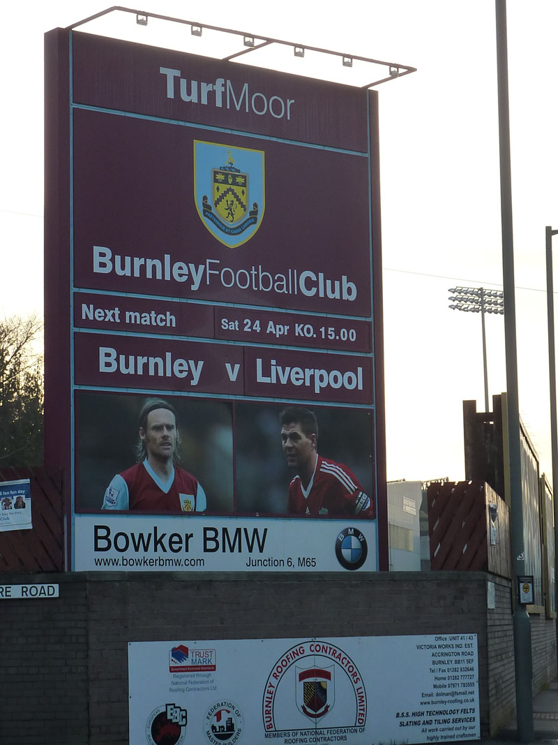
Next Up at the Turf
What a 12 months we've had! Won the Championship play-off final after finishing 5th and then a succession of mighty names have had the pleasure of visiting Turf Moor. It might not be the same next season, but it's been great fun for the fans and the town.
Towneley Park
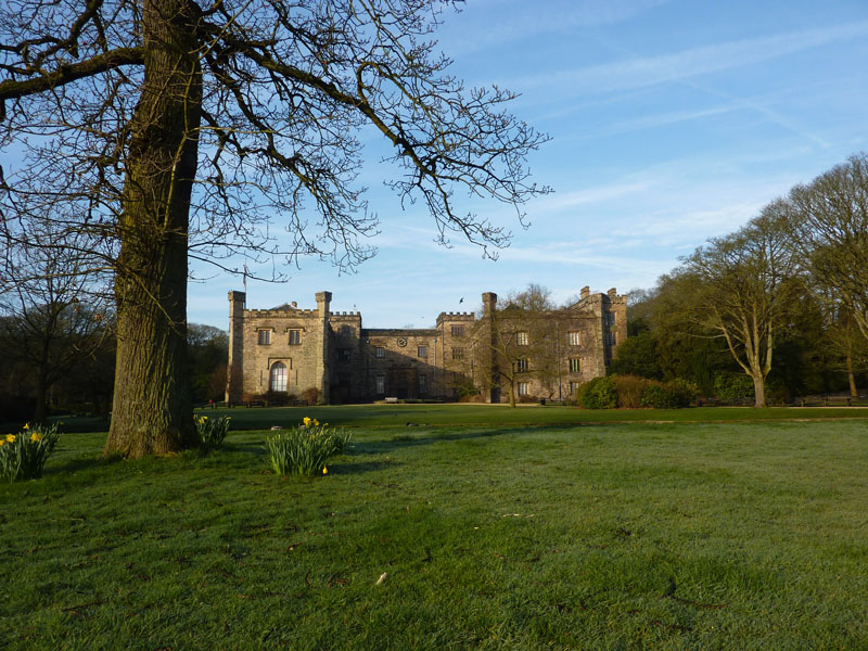
Towneley Hall
Towneley Hall and the parkland surrounding it are Burnley's finest assets. I have been a frequent visitor to this park for the whole of my life; just a little less so now as the children have grown up, I don't play football anymore and they've introduced Pay & Display parking.
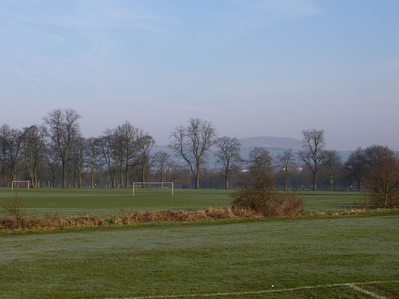
Towneley Playing Fields
I've played footy and cricket on these fields; walked dogs and pushed push-chairs. But it's time to move on, there's a long way to go.
The Way Ahead
 |
 |
|---|---|
Dyneley Hall |
Development Opportunity |
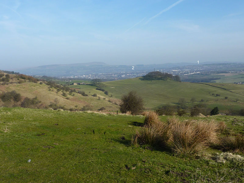
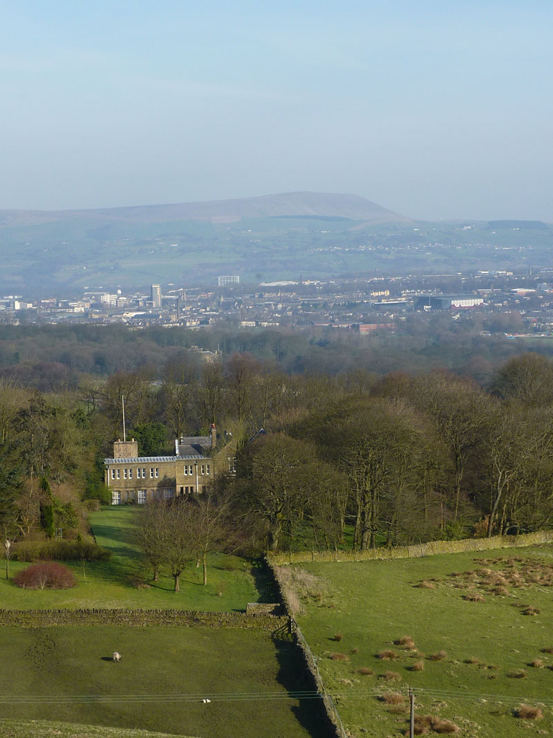
Looking Back
Looking back was easier on the eye, as looking forward was into the sun. No.1 is where we live; No.2 is above Stanley Mill. The view of Dyneley Hall was taken from the wooded knoll in the above photo.
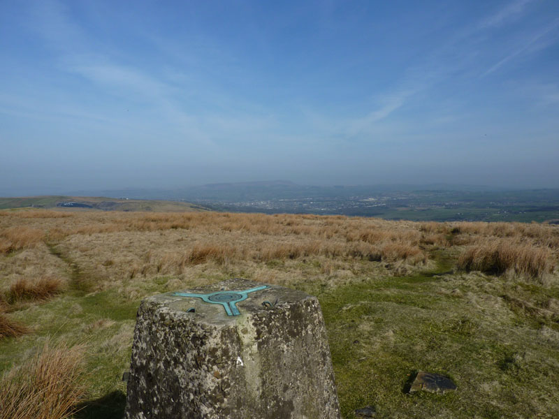
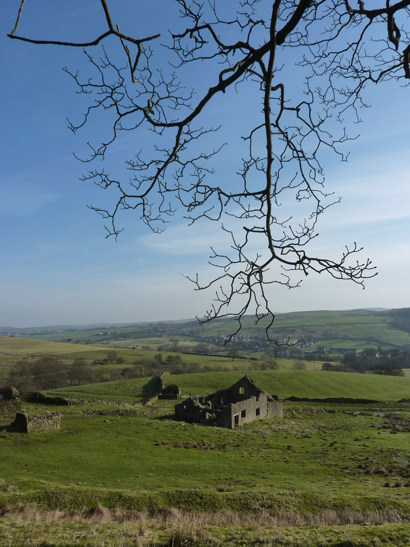
Thieveley Pike
The summit thereof, and the highest point of today's walk. Click here if you would like to see a bit of map. I took the SSW route down to join the Irwell Sculpture Trail. The above is my last view of Burnley and Pendle.
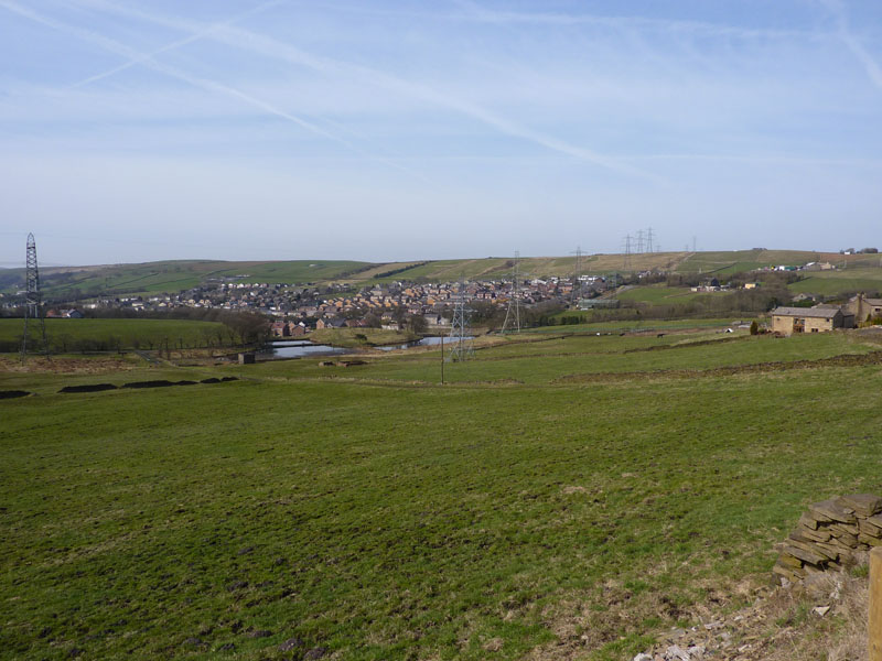
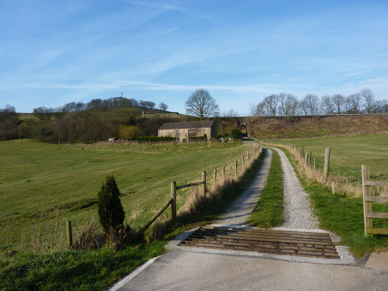
Weir
The village of Weir rests beneath many fine pylons. Weir is the first village on the way down to Bacup in the Rossendale Valley, I am now in the borough of Rossendale, but not for long.
 |
 |
|---|---|
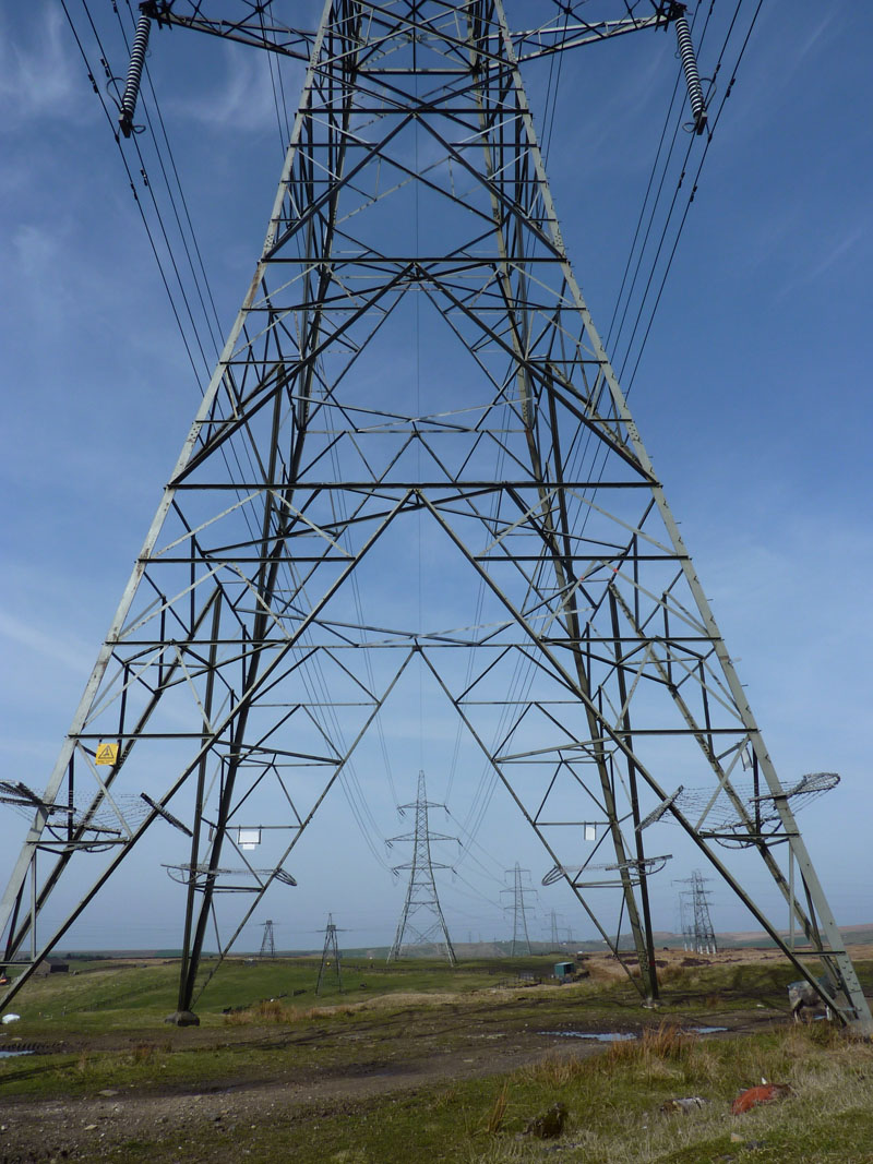
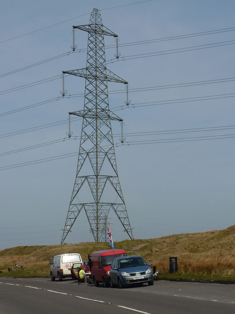
Pylons |
Pylon Enthusiasts |
I walked along the Rossendale Way and towards Calderdale. I saw no sculptures, unless the pylons count as such. I'm not really sure what the guys wuth the red van, the flags, the chairs and the refreshments were doing, but I'm going to speculate that they are pylon spotters. They've picked a great spot.
 |
 |
|---|---|
Stoodley Pike |
The Way Down |
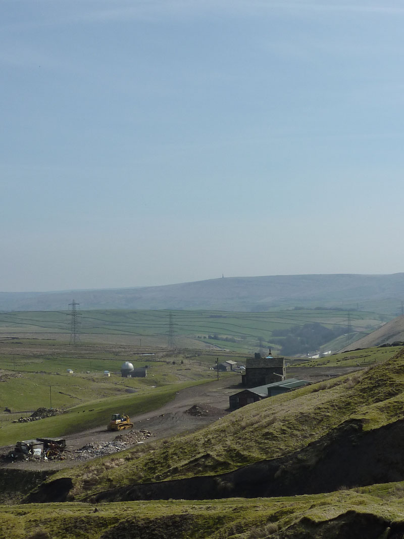
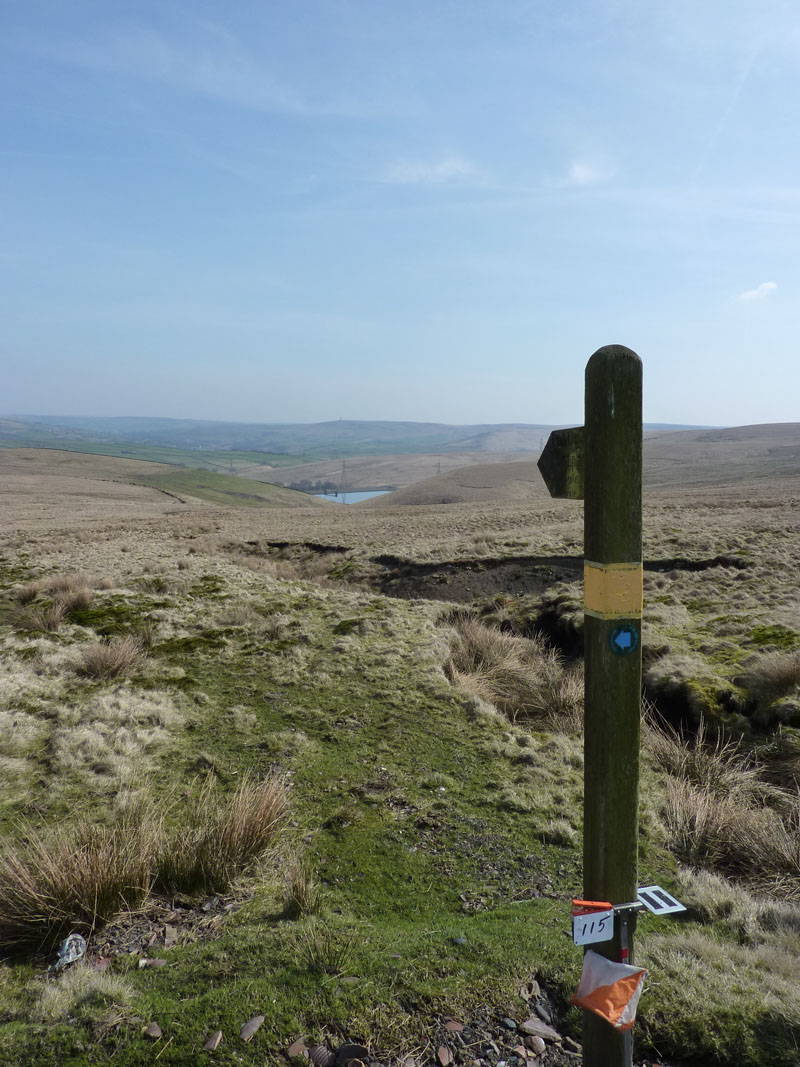
The route entered Calderdale and soon enough I could see Stoodley Pike and an observatory, closer to the camera in the photo on the left. My suspicions are that the observors are watching the pylons, they're all over the place. On the right is the waymarker for the walk down towards Todmorden. That 115 thingy must have been for runners or the like. There's quite a distance between the two photos, but the landscape was a little dull not worth taking photos of.
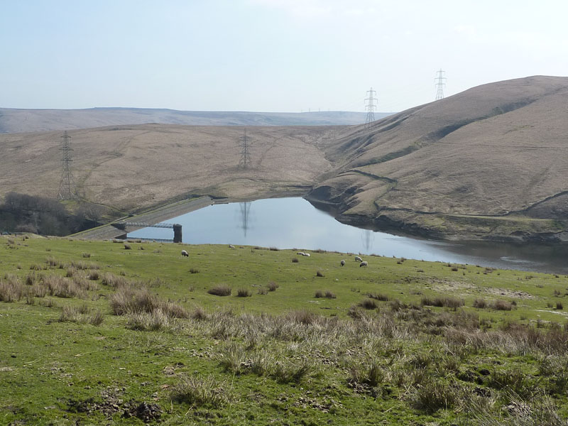
Gorpley Reservoir
One of the many Pennine reservoirs, this one is seldom seen as it cannot be viewed from any roads and is high up on the hillside.
 |
 |
|---|---|
Midgeldon Brook |
Gauxholme, mill and chimney |
 |
 |
Rochdale Canal |
Rochdale Canal |
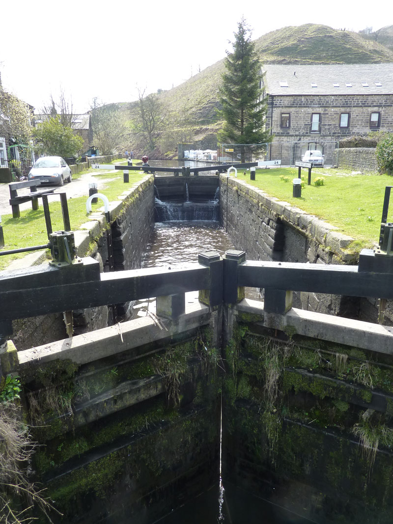
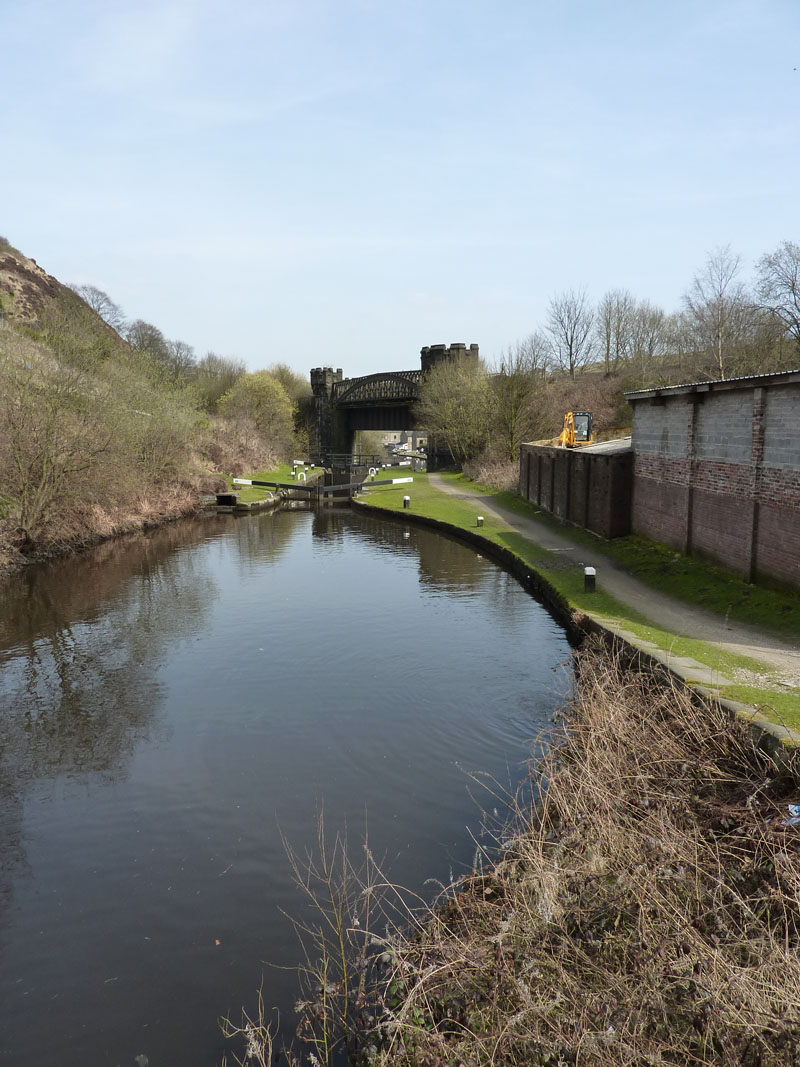
It's a fascinating walk down through Gauxholme and along to Todmorden on the Rochdale Canal. Lots of character in the old buildings.
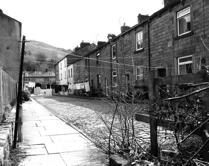
Todmorden Cobbled Street
Ebony & Ivory
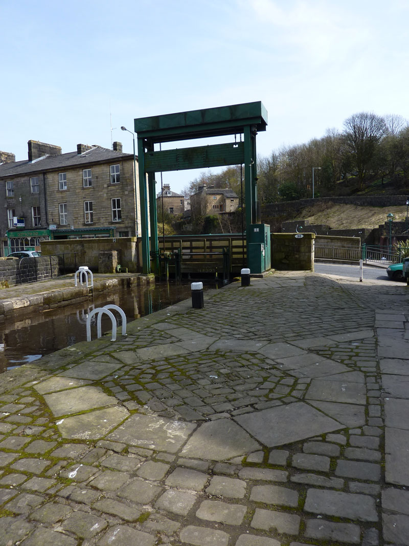
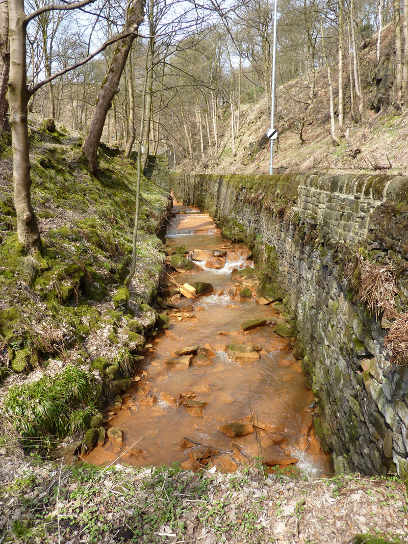
Sluice Gate, Todmorden
The walk is complete, but for a wander around Todmorden and a look for something to eat.
Son, Gary, came along and picked me up to take me home.
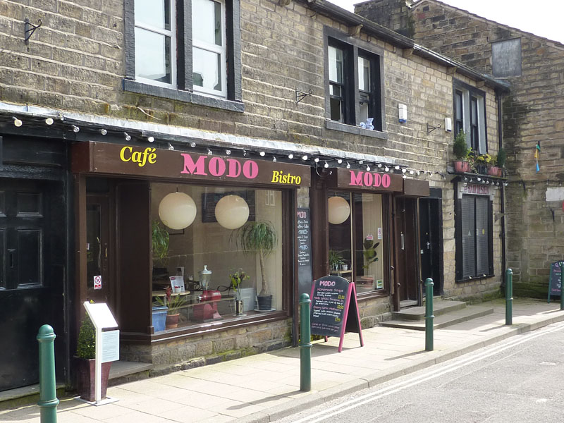
Modo Cafe
Walkers: Just Me
Time taken: 6hrs 30 minutes over a distance of 13 miles.
Route: Home, Briercliffe Road, Stanley Mill, Bank Hall, Turf Moor, Towneley Park, Thieiveley Pike, Weir, Rossendale Way, Limers Gate, Gorpley Reservoir, Gauxholme, Rochdale Canal, Todmorden.
Weather and conditions: Sunshine, becomming a little hazy.
Greetings Count: Very Low on the hills.
Richard's Refreshment Review: Modo Cafe in Todmorden. It was very quiet but I enjoyed a brew and a toastie.
All photos copyright Richard Ratcliffe 2010 © Leave a comment below if you like, it's quick, free and painless.
Take me back to the start ....